Home | Cho Oyu Main | Photo Index Page | Cho Oyu References | Contact 
Previous photo Next photo Thumbnail page
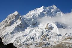
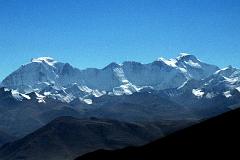
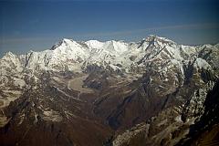
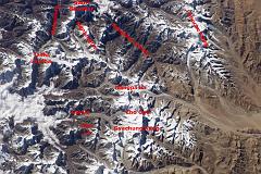
22 Jobo Rabzang Early Morning Just Before Cho Oyu Intermediate Camp 12 Gyachung Kang To Cho Oyu From Pang La 13 Kathmandu Mountain Flight 07-4 Cho Oyu Above Numbur and Khatang With Nangpa La and Nangpai Gosum I 14 Kathmandu Mountain Flight 07-6 Cho Oyu To Gyanchung Kang With Gokyo Valley And Ngozumpa Glacier 1997 15 Nasa ISS006-E-13664 Gauri Shankar, Menlungtse, Cho Oyu To Gyachung Kang With Labels
First page Previous page Index page Next page Last page
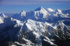
13 Kathmandu Mountain Flight 07-4 Cho Oyu Above Numbur and Khatang With Nangpa La and Nangpai Gosum I  [19 of 21]


Cho Oyu (8201m) dominates the view from the Kathmandu Mountain Flight as the plane leaves the Rolwaling area. The closest mountain is Numbur (6959m) on the left connected by a ridge to Khatang (6853m) on the right. The Nangpa La pass between Tibet and Nepal is in the upper left, and the pointed peak to the left of Cho Oyu is Nangpai Gosum I (7351m, also called Cho Aui or Pasang Lhamu Chuli).
13 Kathmandu Mountain Flight 07-4 Cho Oyu Above Numbur and Khatang With Nangpa La and Nangpai Gosum I Cho Oyu (8201m) dominates the view from the Kathmandu Mountain Flight as the plane leaves the Rolwaling area. The closest mountain is Numbur (6959m) on the left connected by a ridge to Khatang (6853m) on the right. The Nangpa La pass between Tibet and Nepal is in the upper left, and the pointed peak to the left of Cho Oyu is Nangpai Gosum I (7351m, also called Cho Aui or Pasang Lhamu Chuli).

DATE: 2004-10-11 03:31